Trail Running
- Distance: 15.73km
- Elevation: 512m
- Moving Time: 1:19:16
- Elapsed Time: 1:28:46
- Distance: 32.33km
- Elevation: 2,219m
- Moving Time: 8:43:08
- Elapsed Time: 9:18:29
- Distance: 16.51km
- Elevation: 789m
- Moving Time: 1:44:45
- Elapsed Time: 2:00:43
- PaletteGenerator
- Updated the post.
- Distance: 56.17km
- Elevation: 4,228m
- Moving Time: 16:27:18
- Elapsed Time: 30:24:22
Mt Aurum in a day
Date: 15 Jan, 2023 Location: Queenstown, New Zealand
Leg 1 (MTB)
Leg 2 (run)
Leg 3 (MTB)

Starting at Skippers Saddle the first MTB leg was down the flowy Long Gully track on my new dual suspension. What a way to break it in! This was a very fun descent into the valley. I eventually popped out onto Skippers Road which I rolled around til Skippers Cemetery where I dumped the bike and donned the joggers to start the foot leg to Aurum.
I trotted along Skippers Creek on Bullendale Track for a few kms before taking a left at the fork towards on Dynamo Track. Had a chat to a young family who had camped the night near Dynamo Hut. Things slowed down here as the track continues to incline and fades away past Archie Hut. From here I picked my way through tussock and continued the climb towards Aurum where it finally started to peek out from the clouds.
Skirting under the tormenting face I aimed for the saddle between pt1872 and Aurum before deciding my final line to the top. I opted to climb the ridge as best I could, which I managed, but it definitely tested my nerves. There was lots of loose rock and dirt so I had to shimmy my body weight carefully. It was steep too. The photos don’t do it justice. After soaking in the views at the top, regaining my nerves and having a snack I descended a slightly easier way, skipped over to Dandy’s Saddle and started the descent into the next valley over.
I took the wrong line, hitting what felt like a cliff, so had to backtrack up the hill and go again a spur over. From here it was trudging through the creek past Bullendale Hut then back onto Bullendale Track and back to the cemetery for my bike.
The ride out was bloody horrible. A big climb out of Skippers on a very tired body. I was completely shot. Slammed a cold drink back at the car and laid in a slump for a while before heading back home. That was a big day. 13 hours all up.


#trailrunning #MTB
Trail running always quickly becomes off-the-trail running. Can’t help myself.
#trailrunning #nottrailrunning


Created an elevation profile from my gpx file in python and used a colour palette generated from a photo from the run. Bit of fun for my posts. Surprised I managed this.
#gpx #python #trailrunning


Green Lake Overnighter
Date: 8 Jan, 2022

At the carpark I farewelled my mates heading out to Green Lake hut along the main track, hoping to meet them there later. I took off north along the flats towards Borland Lodge Road and after about 10km started the climb up Eldrig Peak Track. The forest eventually opened up. There was a yellow sand which I wasn’t expecting. Must be something special going on here.
This then turned to some cracker ridge scrambling requiring my focus and attention to Eldrig Peak and Mount Burns. I hadn’t read or seen if anybody had done this route so was flying in the dark. It was just the right level of challenge for me. Sidling was an option for a lot of the way but for the most part I could take the ridge.
After Mount Burns I started my decent to Green Lake, stopping for a dip in a tarn before the main decent and the final slow slog into the hut through all the hidden creeks under the tussock on the flats.
Bunkered in with the girls and another hiker for the night, sharing our days stories and banter that goes with, said farewell again in the morning and took off up and over Mt Cuthbert, Rocky Tops and Cleughearn Peak. After the initial scrub bash, this leg was a bit smoother on the tops compared to the day prior, though fatigue had hit me pretty good. It was a grind..
The flats from Rodger Inlet Hut back to the start took a lot longer than expected. Got a classic Fjordland dumping of rain and made it back to the car within 10 minutes of the others!


#trailrunning #bigslog
Afternoon trots up past the launchpad. So good to be back at it.
#trailrunning


Calendar photos
Each year I try to make a calendar for the fam. These are some photos that’ve made the cut, in no particular order.
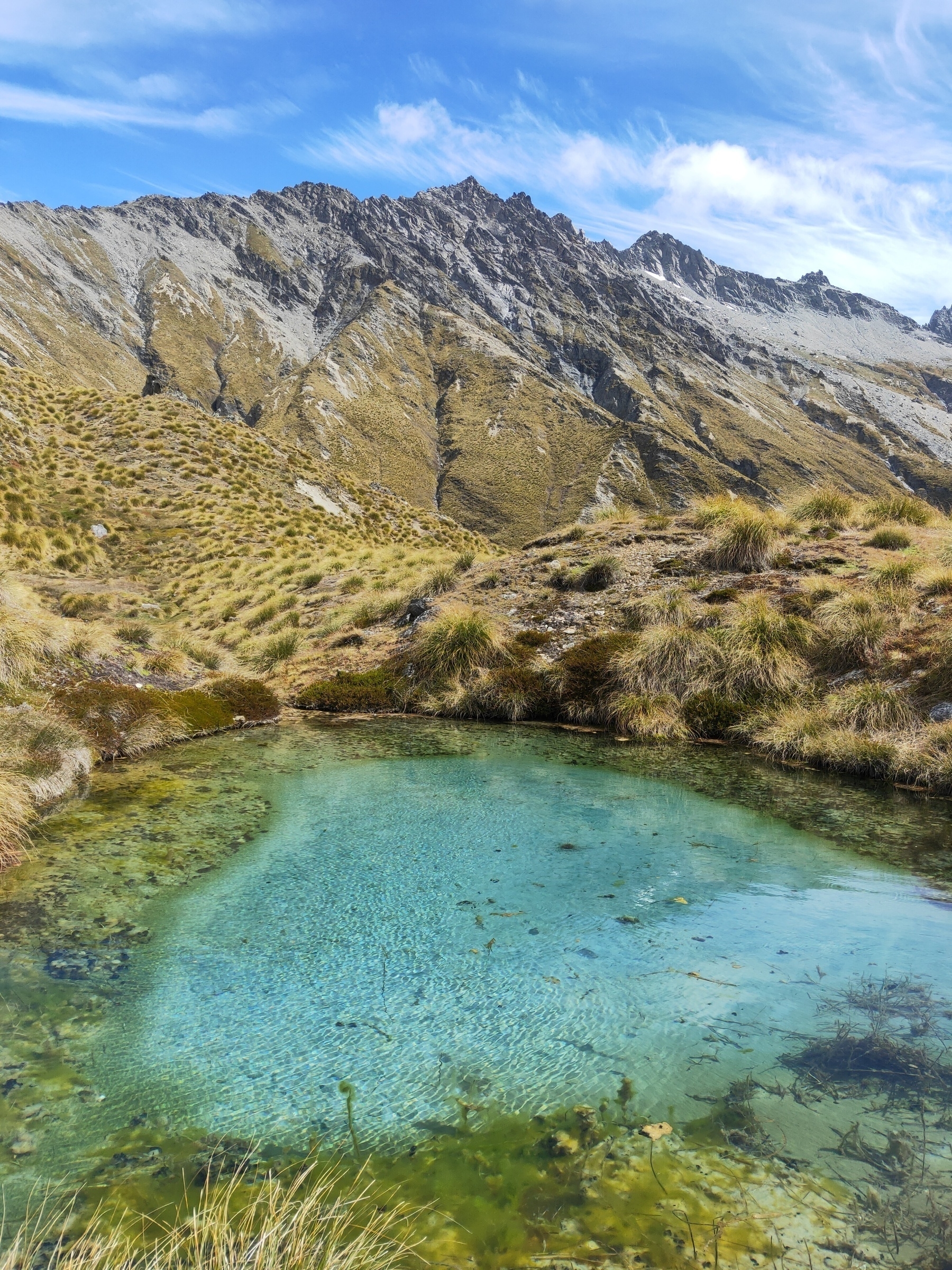
Swims under Richardson Mountains, Otago
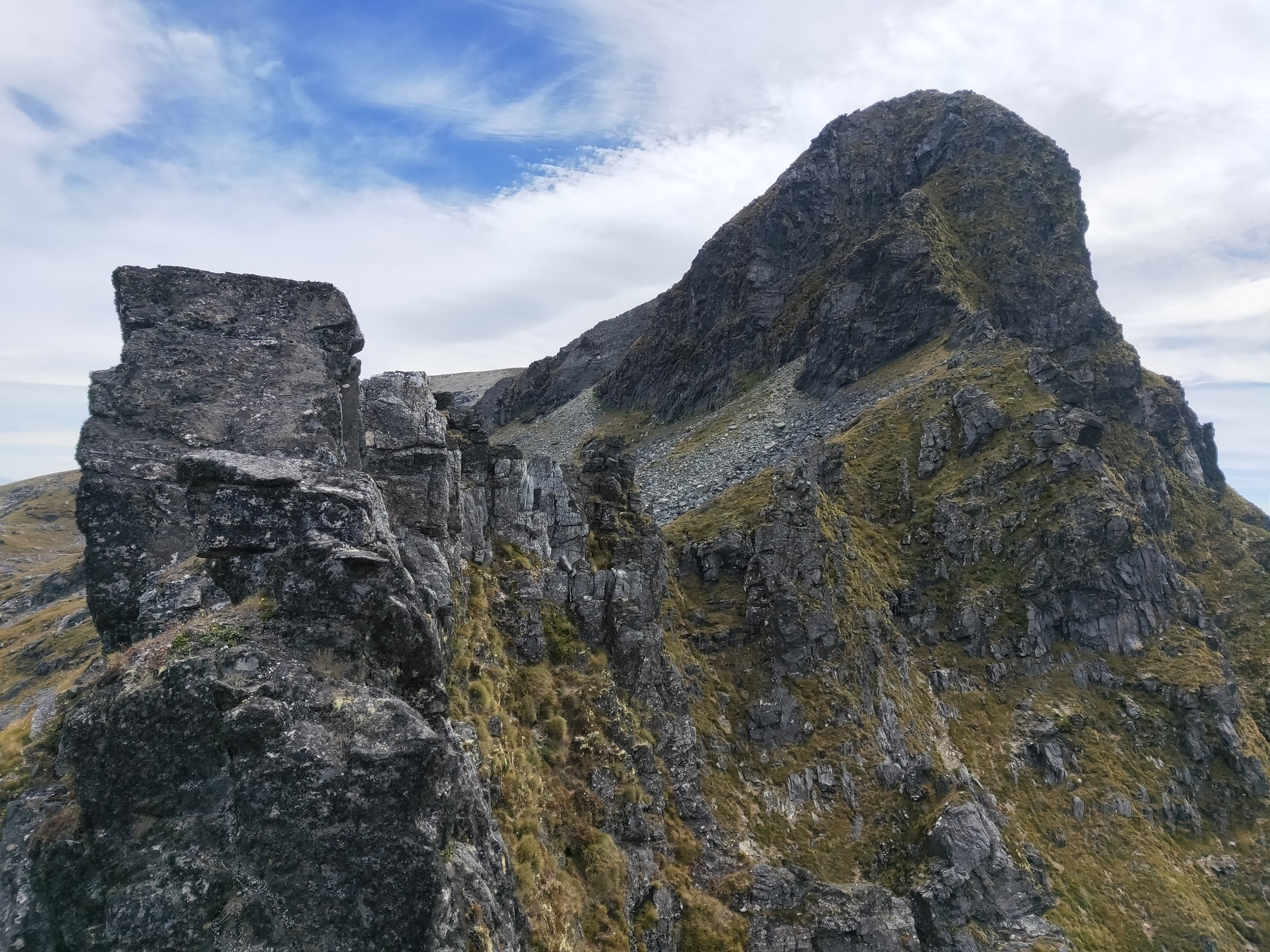
Ridge scrambling towards Mt Burns, Southland
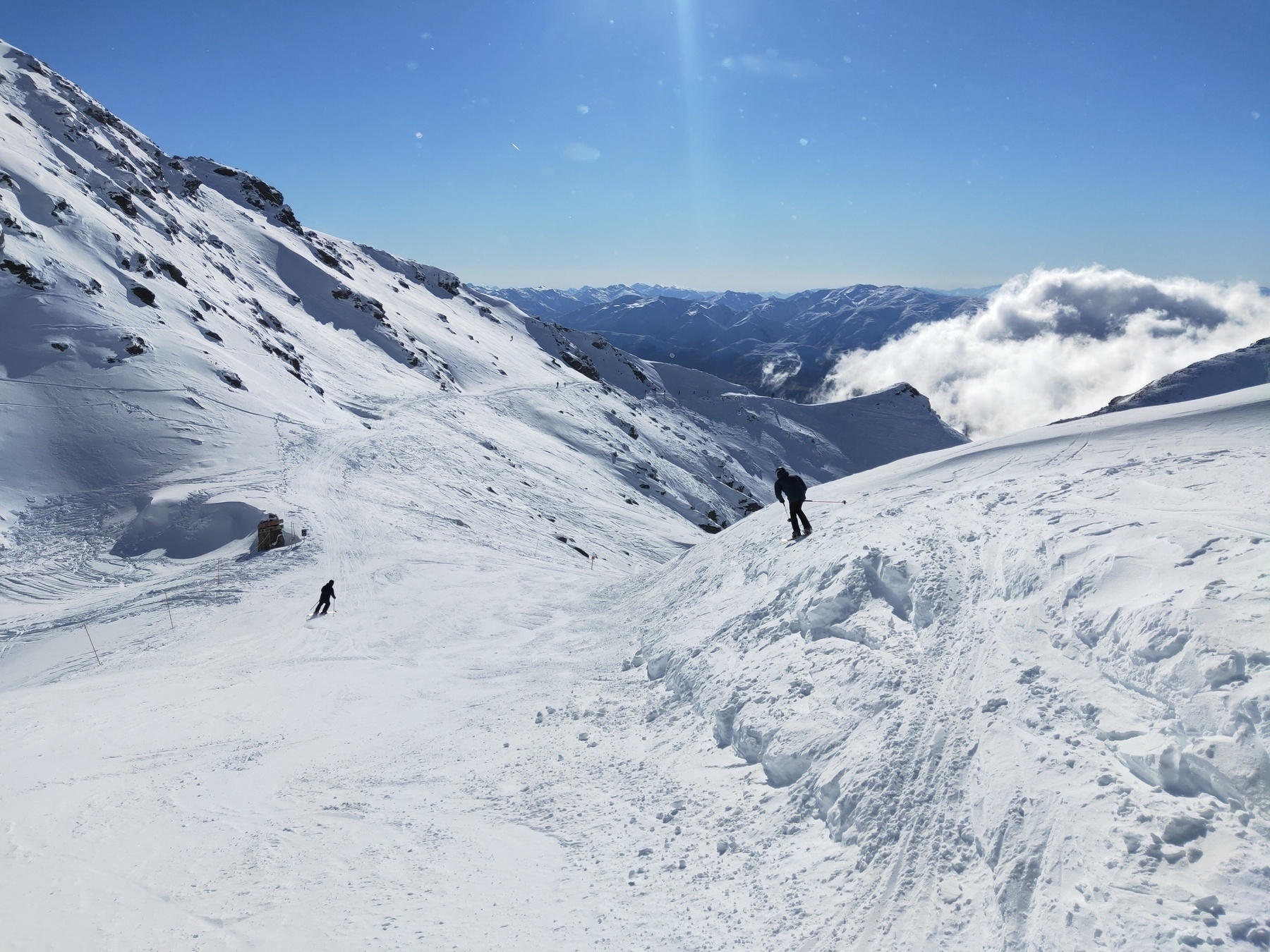
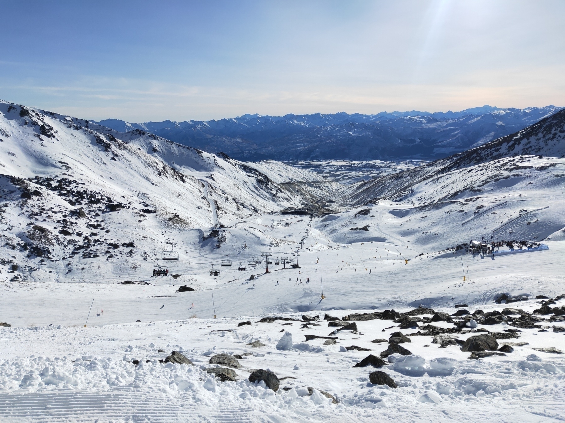
Ski day, Remarks
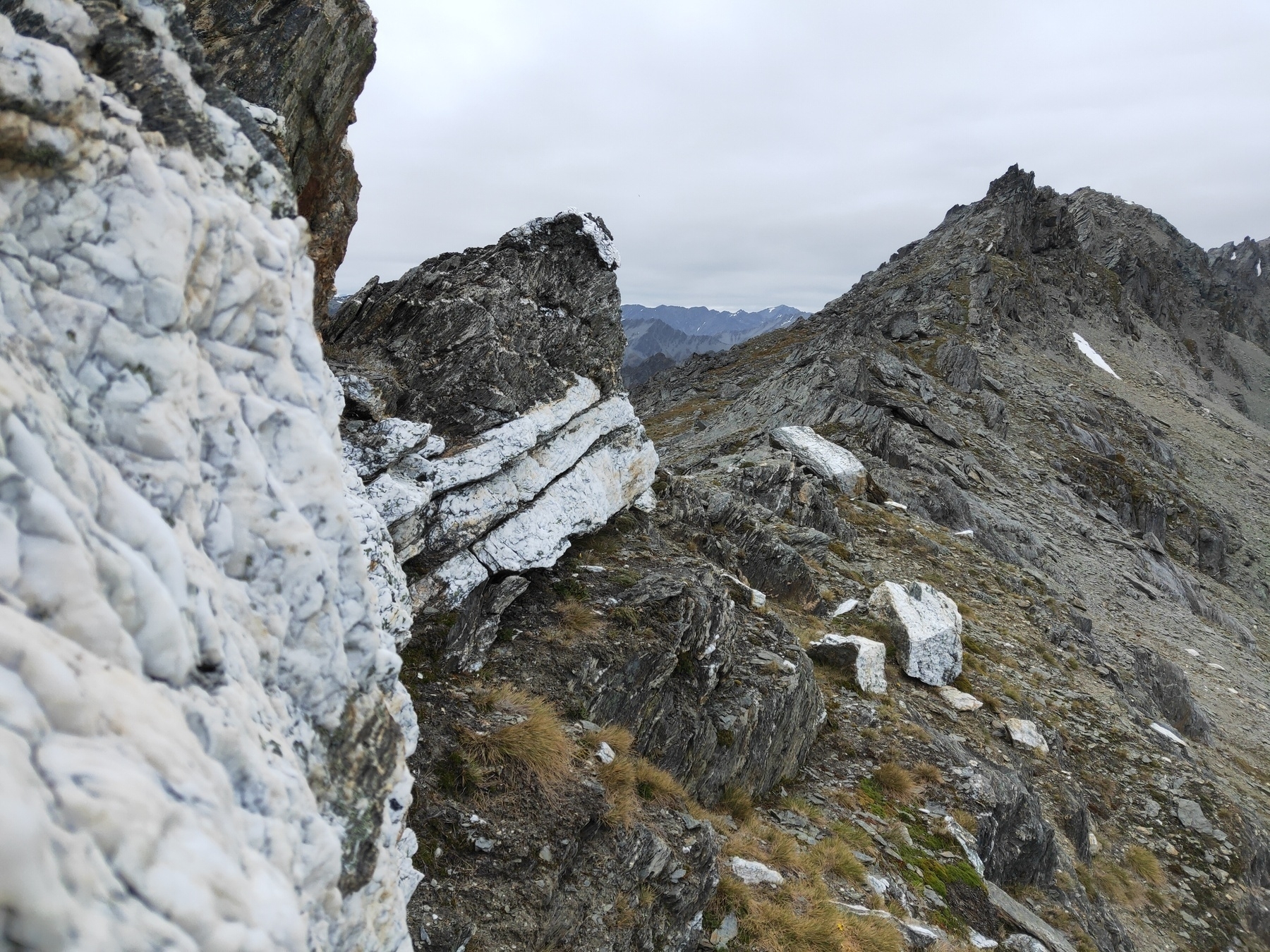
Takitimu Mountains, Southland
Lake Sylvan Track, Glenorchy
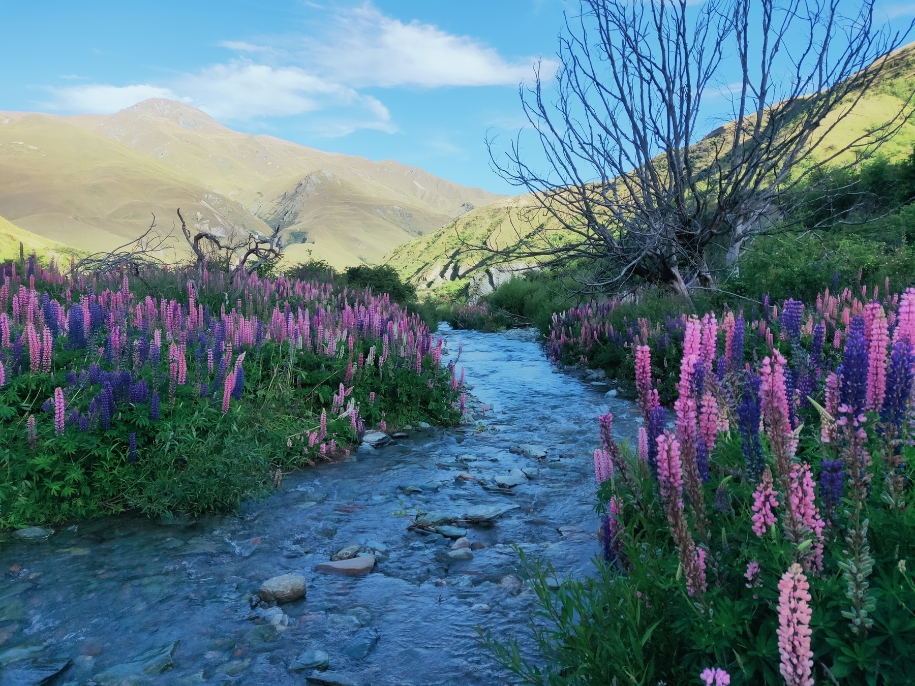
Macetown lupins, Arrow River, Arrowtown
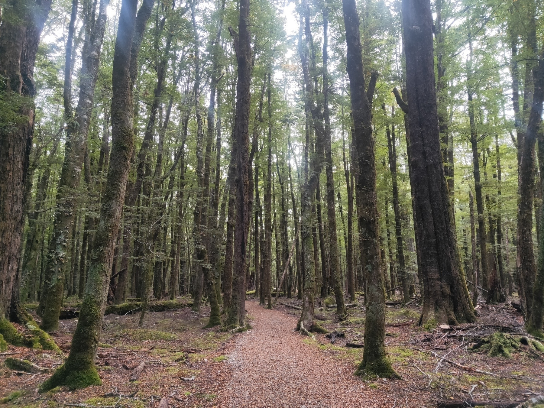
Takitimu Forest, Southland
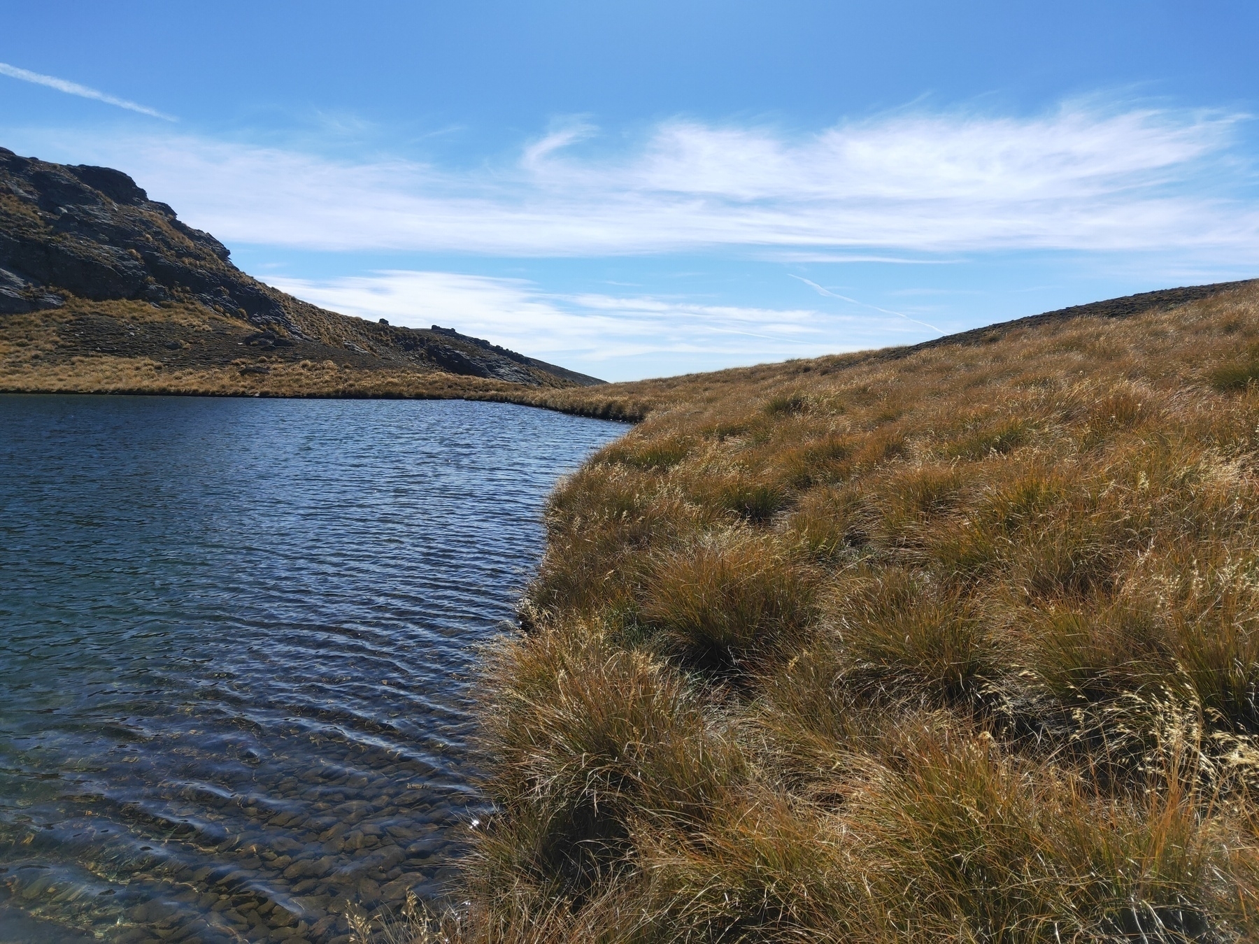
Lake McKay, Pisa Range
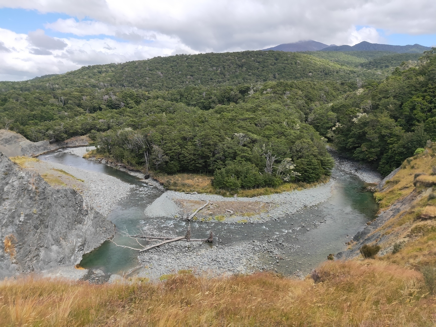
Takitimu Forest, Southland
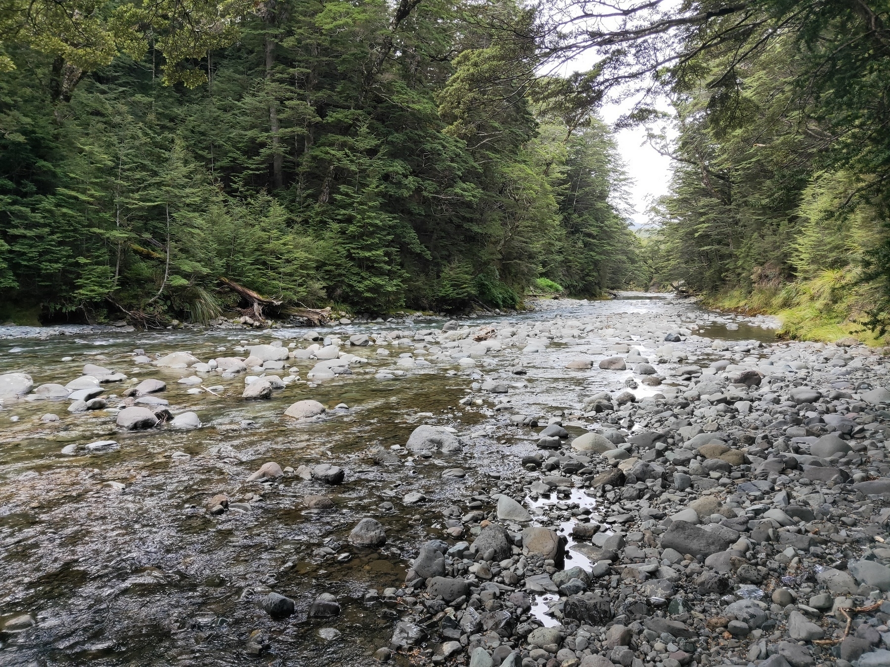
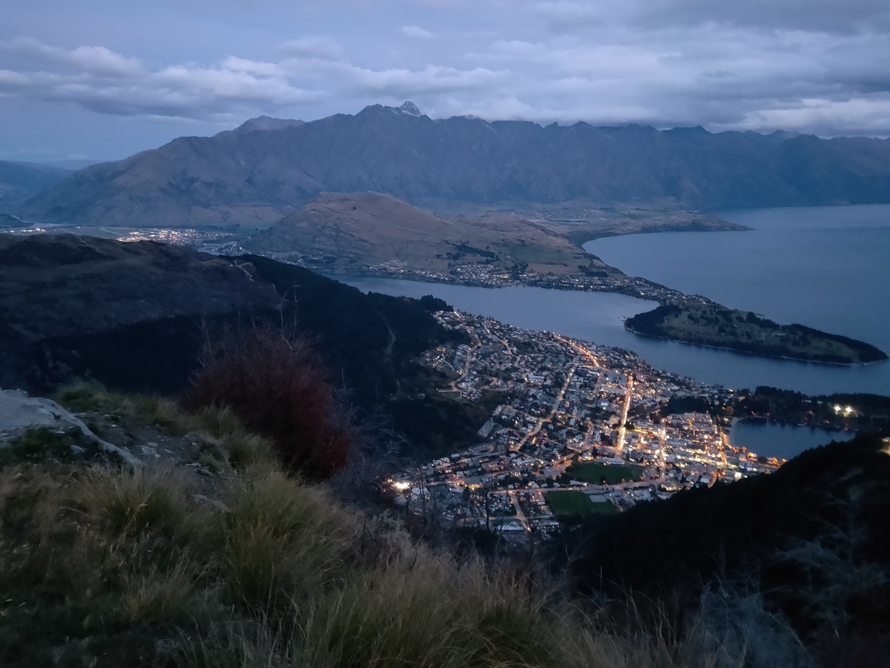
Queenstown
Descending Brow Peak, Arrowtown
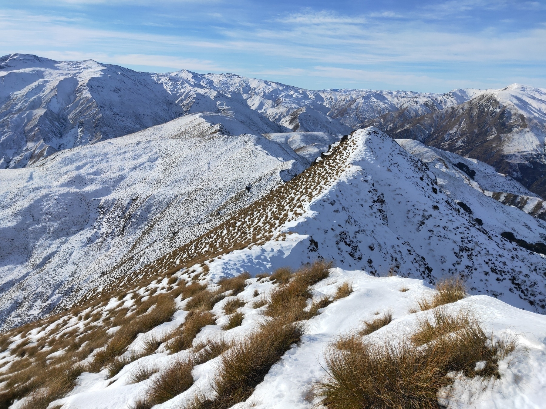
Another one near Brow Peak, Arrowtown
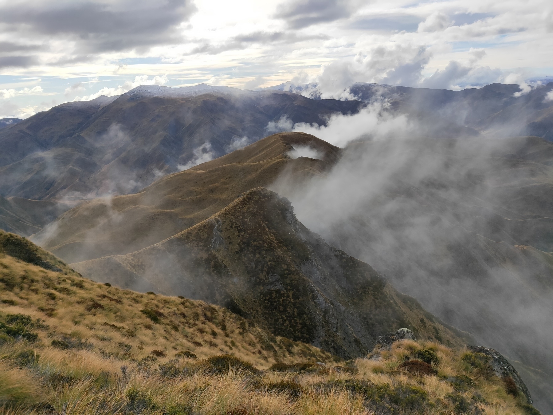
Remarks
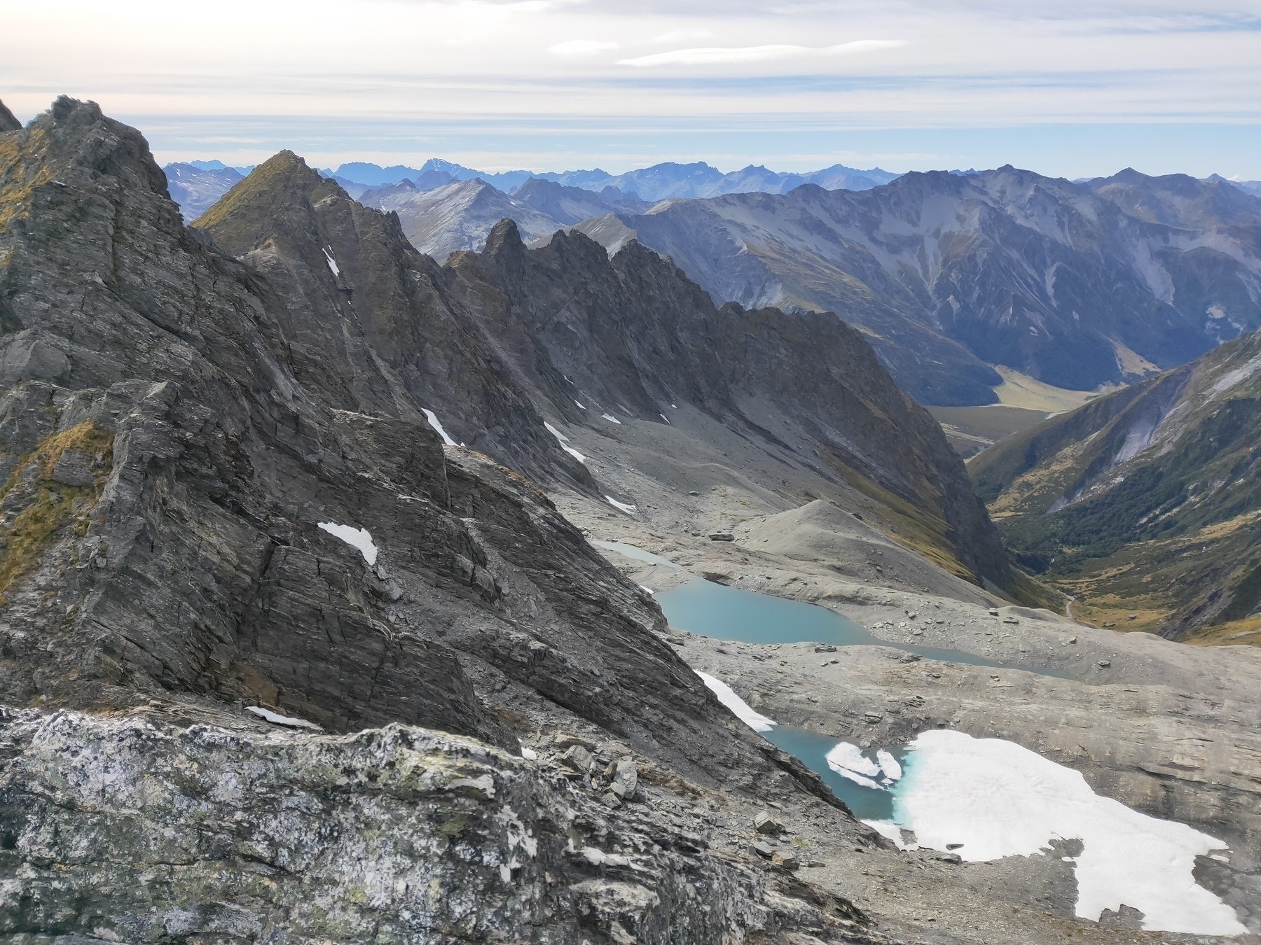
Views from Mt Shrimpton, Otago
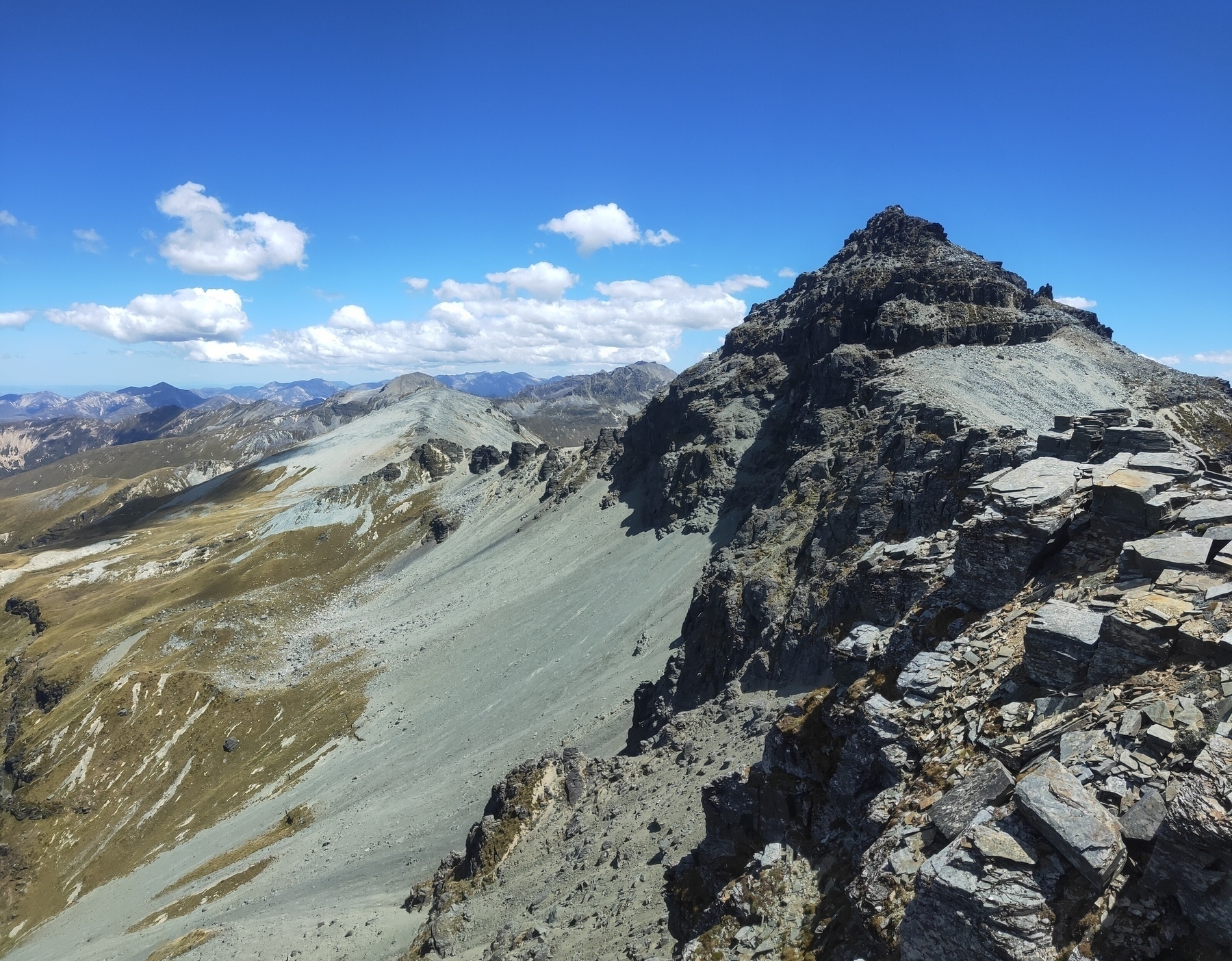
Symmetry Peaks, Southland
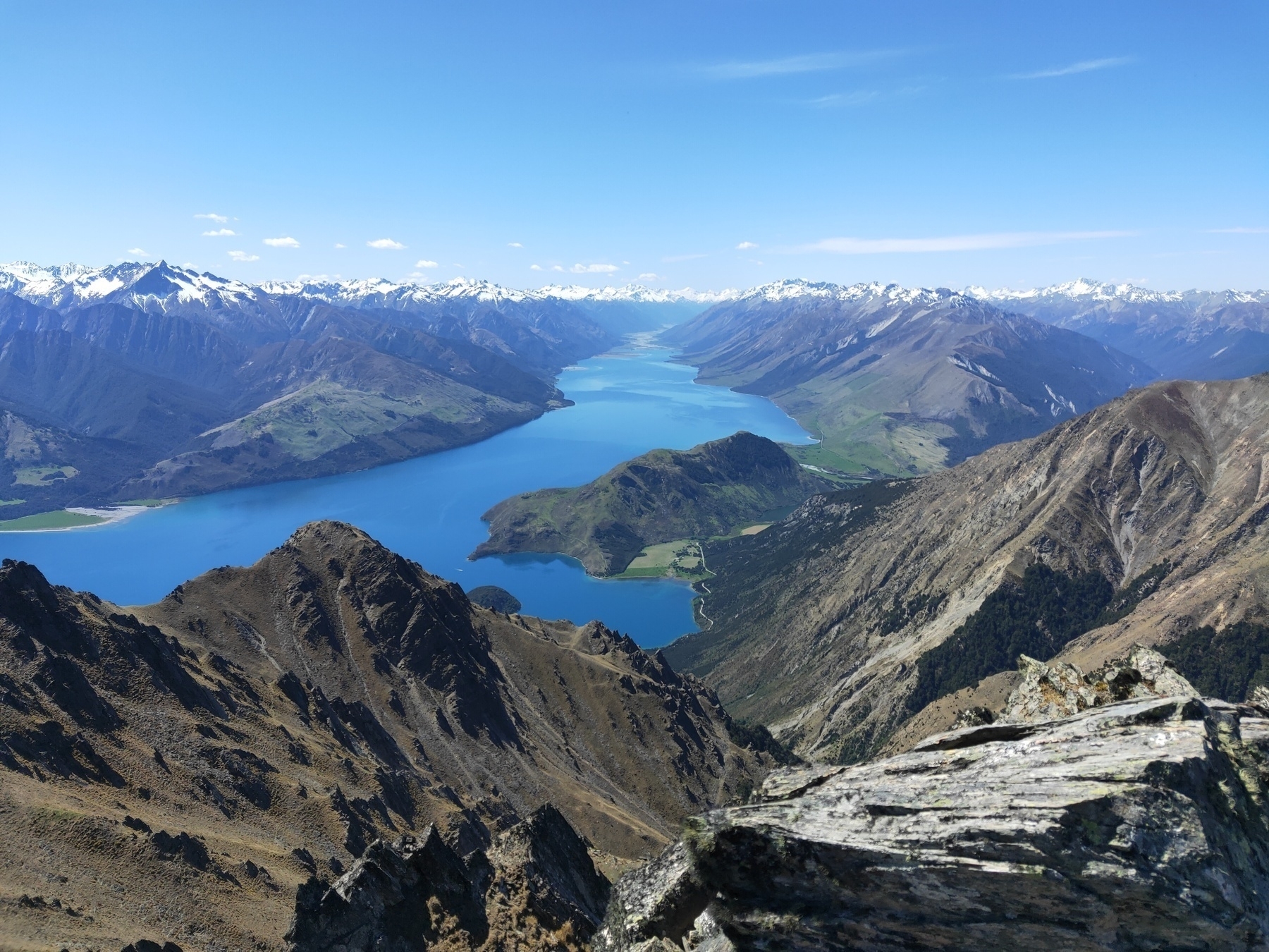
Views of Lake Hawea, Corner Peak, Otago
Arvo run after work, Queenstown
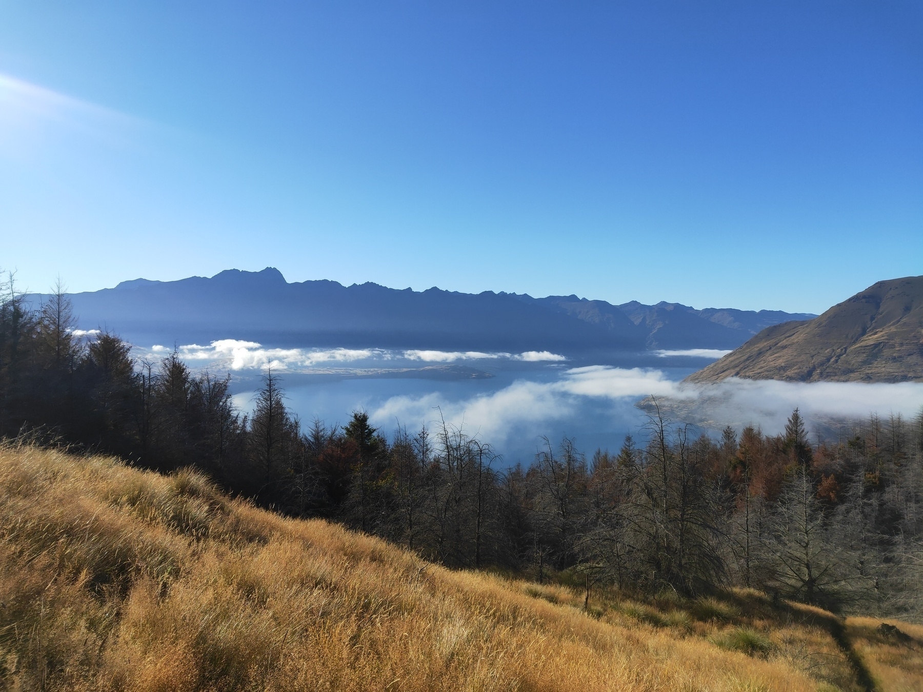
Somewhere along Cardrona Cromwell Pack Track, Otago
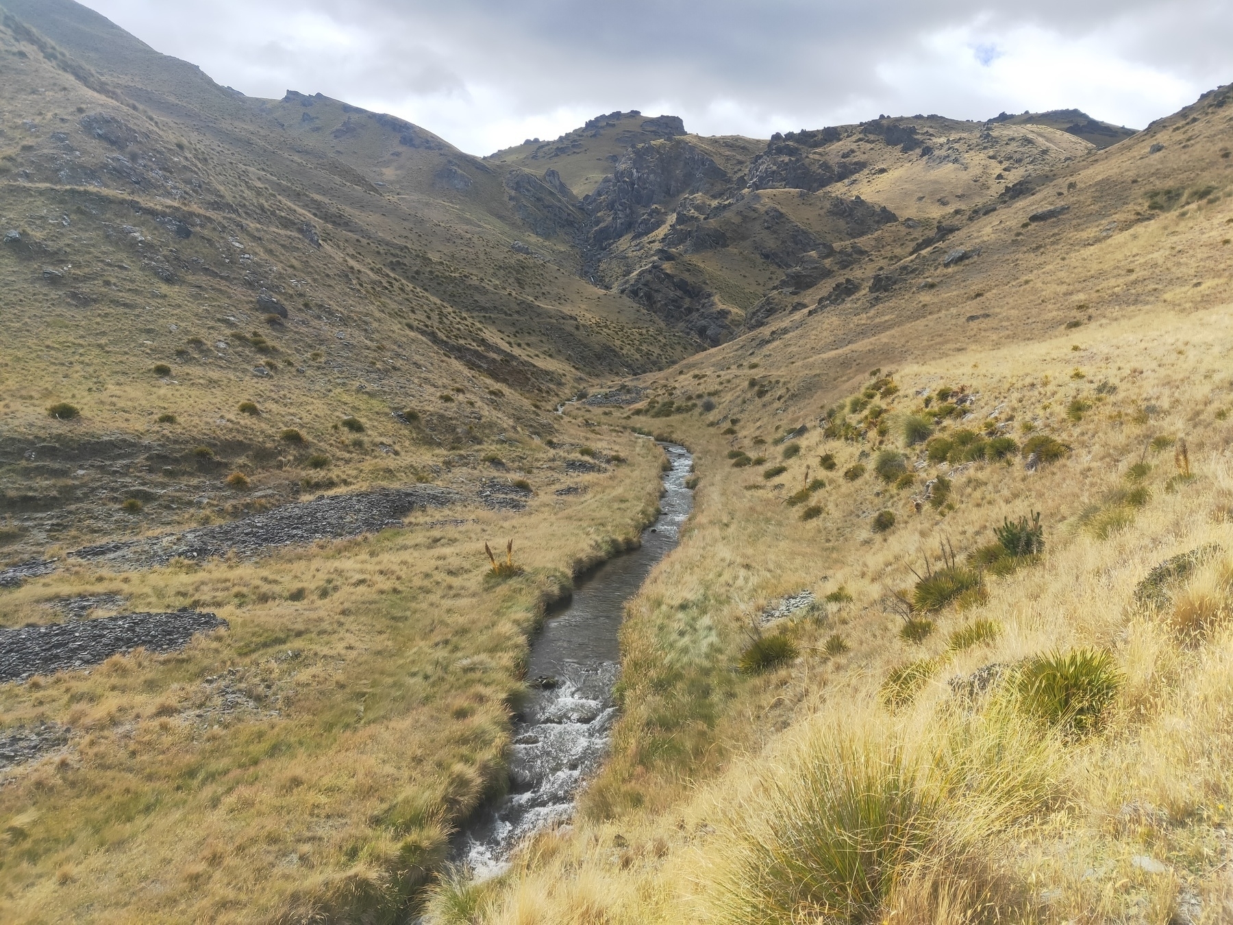
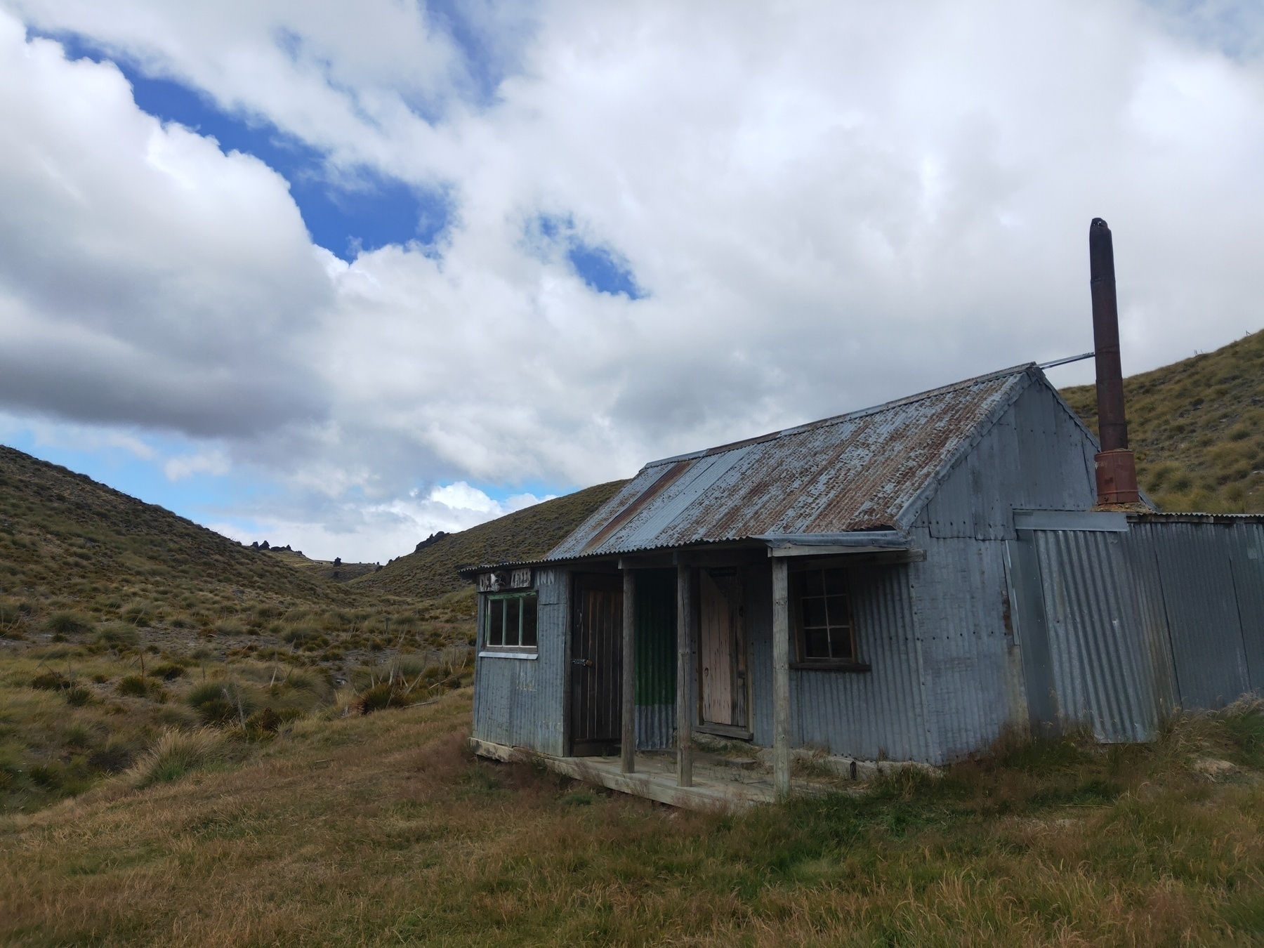
Deep Creek Hut, Otago
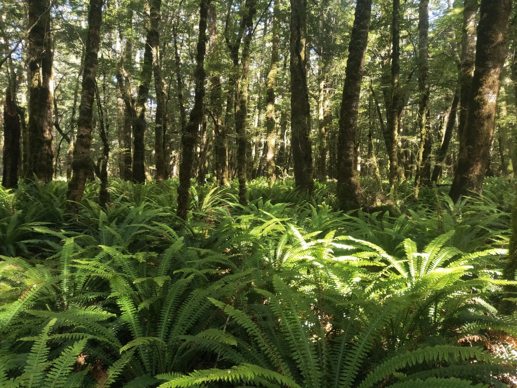
Green Lake Track, Southland
Wye Creek and Double Cone
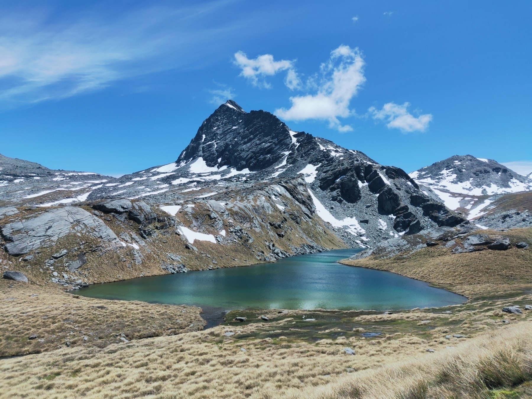
Ridge scrambling Mt Hanley
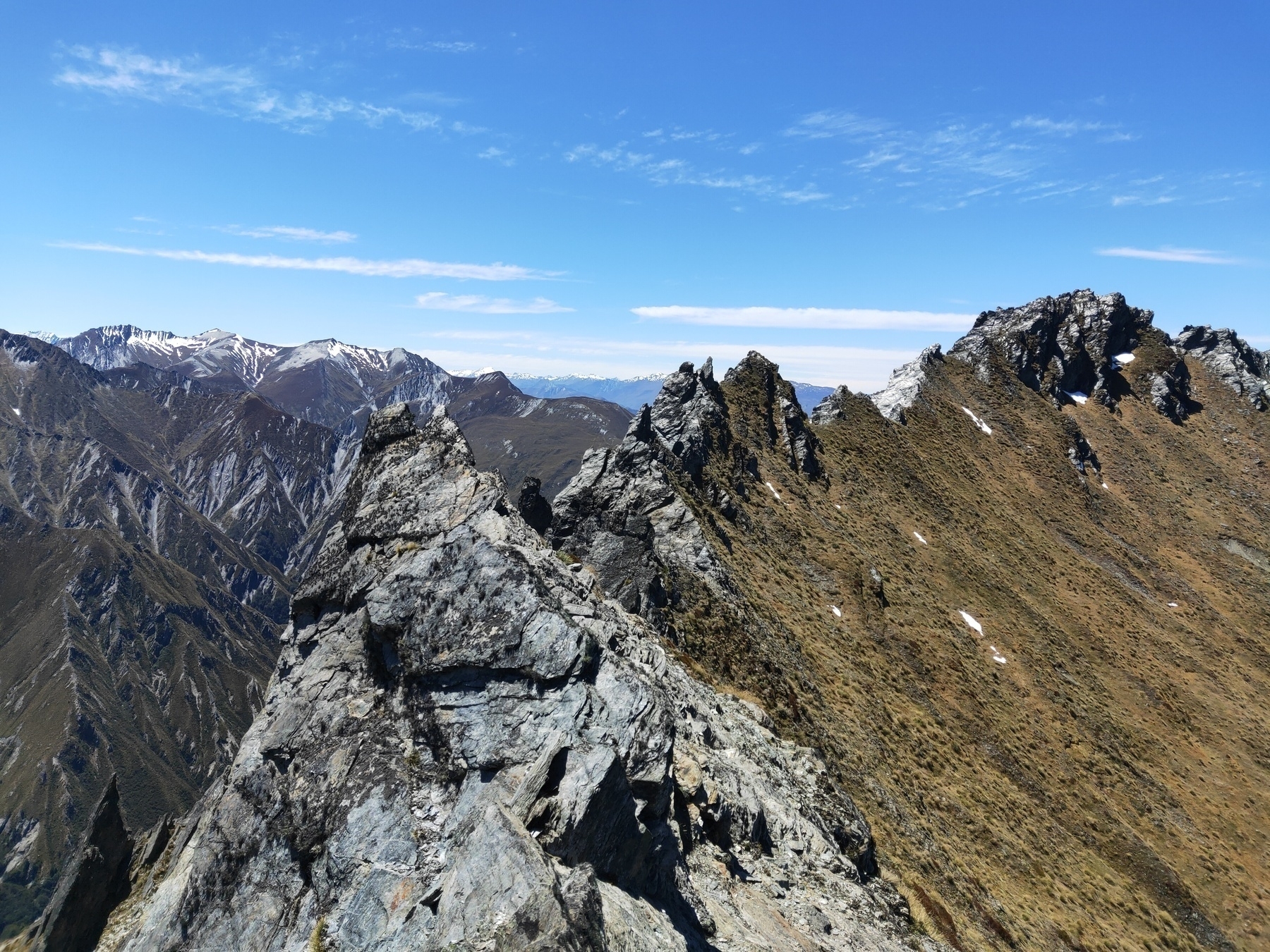
Miner’s trail, Arrowtown

Green Lake, Southland

#trailrunning